© PriceM/Shutterstock
There are many negative outcomes of forest fires: from the destruction of ecosystems to atmospheric pollution and the loss of green areas. Another effect, often overlooked, is that they increase hydrogeological risk. That is, fires make the soil more fragile and thus exposed to natural hazards of all kinds. Not the least of these is erosion, which generates debris that can then be transported by rainfall and damage other ecosystems.
These dynamics are particularly relevant in Italy, which is badly exposed to both fires and hydrogeological risk. But the problem is difficult to gauge from data alone, since it is a long-term phenomenon and highly bound up in individual regions’ physical geography.
Fires, a growing problem
Forest fires can affect very large areas. Unfortunately they are becoming increasingly frequent, in large part due to climate change. Rising temperatures, droughts and dry soil mean more and bigger fires. According to the World Meteorological Organisation (WMO), forest fires are set to increase by 30% by 2050 and up to 50% by 2100, globally.
According to the latest update of the European Forest Fire Information System (EFFIS), as of 16 September more than 420,000 hectares of land in the European Union had burned in 2023. This was 36.6 % more than the average in the years between 2006 and 2022 (about 307,000 ha).
Groundwater in peril
These episodes, increasingly frequent and increasingly serious, have serious consequences. In the first place, there is of course the danger to the lives of local people and their homes and infrastructures.
Added to this is the fact that fires pollute, releasing greenhouse gases and thus fuelling a vicious circle of warming. Indeed, another problem is the disappearance of greenery itself, which might otherwise be able to reabsorb many of the pollutants and cool the air. In addition, fires damage ecosystems and weaken soils, which leaves them exposed not only to the spread of pests and pathogens, but also to hydrogeological risk. This has emerged in a series of environmental research studies and ha been also highlighted by Italy’s civil protection body.
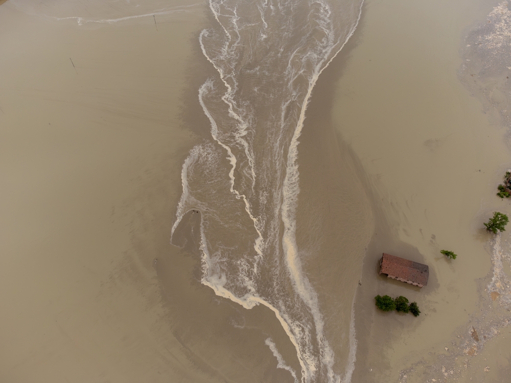
Specifically, fire can seal the top layer of soil, generating a thin layer of ash that prevents it from absorbing rainwater. The water then runs off, causing flows that often carry debris from the fire and that end up in inhabited areas downstream. Rainstorms, which are on the increase such as other extreme weather events, can worsen the damage. Finally, fires destroy tree roots that stabilise soil, making the land more vulnerable to catastrophic erosion. Fires can therefore both worsen floods and boost landslides.
Sicily, an island in peril
Italian regions have different topography and latitudes, which make them naturally more or less exposed to fires and episodes of hydrogeological instability. Sicily is one of the most vulnerable. The island is losing thousands of hectares of green space every year to fire. At the end of July this year a state of emergency was declared.
In addition to being the most afflicted by fires (along with Sardinia), Sicily is also among the Italian regions that recorded the most landslides in 2021. Over time, the risk is that fires and landslides will reinforce each other and thus worsen the environmental situation on the island.
Although there is a clear relationship between fires and landslides, it is important to emphasise that the impact of fires on the soil is a slow process that is hard to measure. At the same time, many other factors must be considered for each location, not least the topography and local climate.
Original source: https://www.openpolis.it/gli-incendi-aggravano-il-rischio-idrogeologico/
 This material is published in the context of the "FIRE-RES" project co-funded by the European Union (EU). The EU is in no way responsible for the information or views expressed within the framework of the project. Responsibility for the content lies solely with EDJNet. Go to the FIRE-RES page
